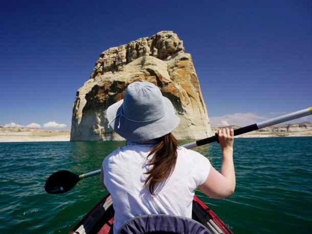
Often Tucson is overlooked when compared to the big names of Phoenix, Flagstaff, Sedona, and Grand Canyon. However, southern Arizona’s Tucson is a hotspot for Microadventures.
Tucson is referred to as the “Old Pueblo” and retains a good portion of its cowboy culture. The city itself sits nestled up against five mountain ranges: the Santa Catalinas, Rincons, Santa Ritas, Tucsons, and Tortolitas. Each range has its own unique personality and Microadventure opportunities. There are plenty of wild trails for biking, off-roading, and horseback riding. You can even find skiing on Mt. Lemmon in the winter. For now, we are going to focus on the hiking trails. As with many trails in Arizona, these trails are shared-use, for hikers, bikers, and equestrians.
Let’s take a closer look at our 10 of the favorite places to hikes in and around Tucson, AZ:
Around the Santa Catalina Mountains
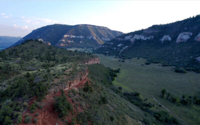
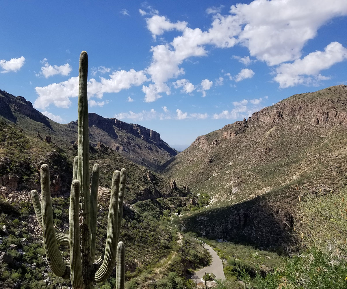
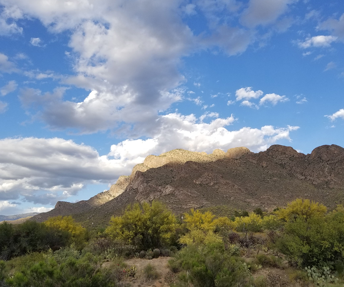
The Santa Catalina Mountains reign supreme over Tucson, covering over 500 square miles and towering to 9,000 ft at Mt. Lemmon. This mountain range is in the Coronado National Forest and offers Sabino Canyon Recreation Area, Catalina State Park, and Oracle State Park. You will find easy trails in the foothills, intermediate trails working up canyons, and intense trails along high elevation ridgelines.
Here are two incredible areas with specific trails to check out in the Santa Catalina Mountains outside of Tucson, AZ:
#10 Sabino Canyon National Recreation Area
Sabino Canyon National Recreation Area is part of the Coronado NF and just a few miles north of downtown Tucson. The parking here does require a daily fee or the National Parks pass. Sabino Canyon is a great place for all levels of hikers and nature lovers. There is a very informative visitor center, plenty of park rangers, an hourly tram to carry you up the canyon, and a plethora of hiking trails. Sabino Creek runs through the canyon, a nice easy hike is along the Sabino Lake Loop. This loop is 2.3 miles and offers great views and spurs to explore the creek and its dam.
For a longer and more rigorous hike, the Phoneline Trail is 9.5 miles with an elevation change that takes you up the canyon along a high ridge with amazing views of the creek below. If you want even more height, Blackett’s Ridge is another 5-mile spur off of the Phoneline Trail.
#9 Catalina State Park
Catalina State Park is on the western slopes of the Santa Catalina Mountains. It is one of the most popular destinations in the Tucson region.
The park is a perfect way to experience the flora and fauna of the Sonoran Desert.
Canyon Loop Trail traverses 2.5 miles, climbing a small ridgeline and crossing the Sutherland Wash at several spots.
For those looking for a longer hike, the 50-year Trail starts at the Equestrian Center and winds north through the desert foothills to the Golder Ranch area.
#8 Golder Ranch
Golder Ranch is an area of sparse development that crosses the Canada Del Oro Wash and works its way up various canyons and small peaks along the northwest flanks of the Catalinas.
Most of this area is State Trust Land and does require a permit from the State. After parking, at the end of Golder Ranch Rd, you can access a beehive of lesser-known trails. The Baby Jesus and Middle Gate Loop will take you through six miles of desert floor and rocky washes.
#7 Oracle State Park
Oracle State Park rounds the corner of the northern Catalina Mountains in the old mining town of Oracle. The park is higher in elevation and showcases slightly different flora and fauna than Catalina State Park.
This area is a favorite playground for Microadventures with off-roading trails, ziplining, and the AZT, Arizona’s thru-trail, running through the region.
A loop of the Granite Overlook Trail and the Nature Trail gives you a nice 3-mile hike with a variety of terrain and some spectacular views of the San Pedro River Valley and the Galiuro Mountains to the northeast.
#6 The Arizona Trail (AZT)
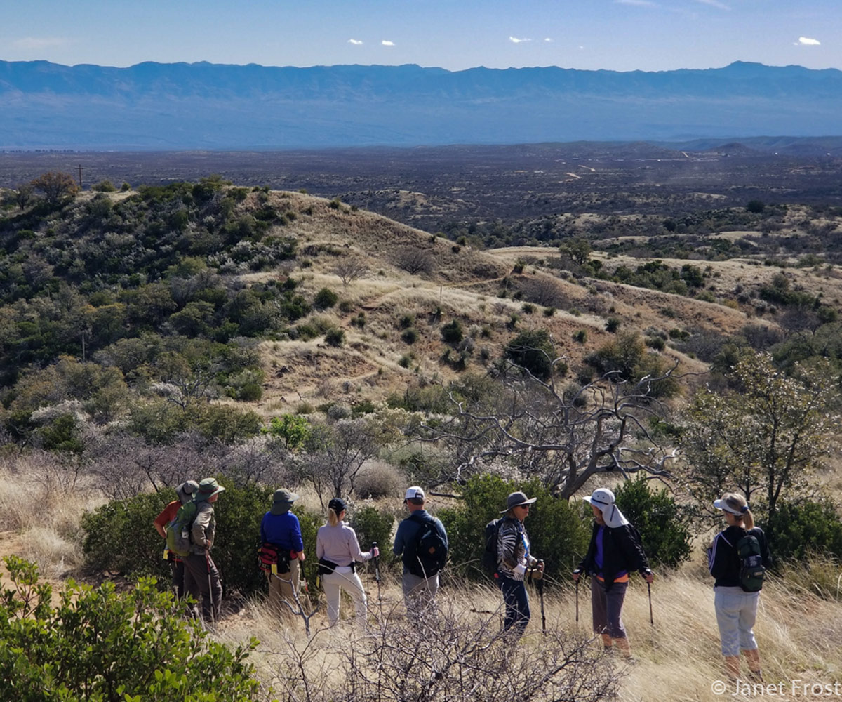
Arizona Trail (or AZT) is an 800 mile “thru-hiking” trail. It runs north and south through the state of Arizona, from the border of Mexico to the border of Utah.
If you want an intimate experience with the desert and mountains of Arizona this is your trail. Five of the forty-three passages trek just to the east of Tucson, covering 83 of some of the toughest miles of the trail. Oracle, AZ is one of the gateway communities for the AZT with resources and lodging options. Passages #12 and #13 can be accessed from the American Flag Trailhead on the Old Mt. Lemmon Rd just out of town in Oracle.
The trailhead is part of the historic American Flag Ranch. There are several old structures scattered throughout the passages that give the feel of being in the old Wild West. Starting at the trailhead you can head along with Passage #12 back up the ridgeline into the Santa Catalinas, or you can take Passage #13 and traverse Oracle State Park.
One note: many of the high elevation trails in the Santa Catalinas were heavily impacted by the Bighorn Fire in 2020, so be sure to check with the Forest Service about the conditions of the high trails. Here is a link to the detour created for the AZT on Mt. Lemmon.
For more about the mountain ranges around Tucson, visit Janet’s series on Sky Islands of Arizona.
Around the Rincon Mountains
The Rincon Mountain range continues to the south from the Santa Catalinas, wrapping around Tucson to the east. The highest point of this range is slightly lower than Mt. Lemmon, with Mica Mountain reaching 8664 ft. Between the Saguaro National Park East and the Rincon Wilderness, this region offers a total of 96,500 acres of wilderness. It has an extensive trail network and six backcountry campgrounds.
#5 Saguaro National Park East
Saguaro National Park East Saguaro National Park has two distinct sections on either side of Tucson. The Cactus Forest Scenic Loop Drive, in Saguaro NP East, is a paved road that features several trailheads, scenic vistas, and pullouts for a total of 8 miles.
Cactus Forest Trail is an easy hike through the Sonoran Desert. You can pick it up just south of the Rincon Mountain Visitor Center along the Cactus Forest Scenic Loop Drive. It traverses 10 miles south to north through the Park.
If you are looking for elevation and more of a challenge, there are numerous trails to choose from. Some of these trails have trailheads along the Loop Drive within the Park. However, there are two other trailhead access points to the north. At the eastern dead end of Broadway Blvd, you can access Cactus Forest Trail and others. Likewise, at the eastern dead end of Speedway Blvd, you will find more trails that climb further up into the Rincons.
One very popular option is the Bridal Wreath Falls Trail. This 7.3-mile loop gains 1100 ft in elevation and after the monsoon season, might actually have water in the “falls”.
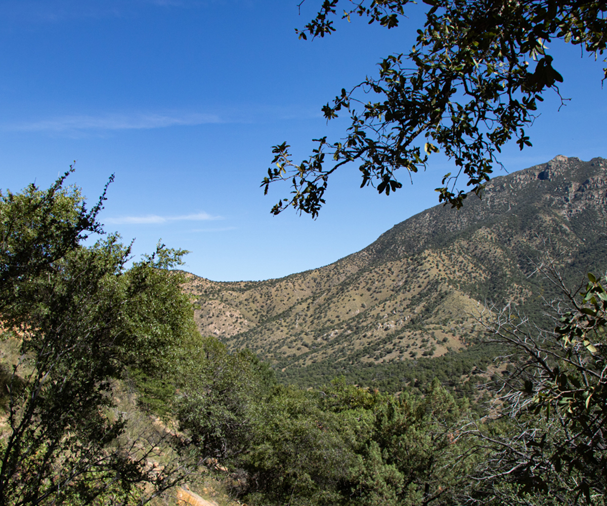
Around the Santa Rita Mountains
Technically, the Santa Rita Mountains are a further distance from Tucson. This range does complete the southern portion of the circle of mountains around Tucson. However, it is an hour’s drive to the south.
Santa Rita’s Mount Wrightson, is the highest point in the Tucson area, at over 9400 ft. This spectacular mountain range is world-renowned for its biodiversity, with birdwatchers coming from around the world. Madera Canyon offers hiking trails from gentle walking paths in the lower canyon to steep, challenging trails up to Mt. Wrightson.
#4 Madera Canyon
Madera Canyon is the primary access to the trails in the Santa Ritas. This canyon is absolutely beautiful any time of the year. It is higher and therefore, cooler than much of Tucson proper. The canyon is lush with vegetation and most years, the Madera Creek runs all year long. Madera Canyon Nature Trail meanders up the canyon along the creek for 5.5 miles.
There are several easy access points to park and jump on-off of the trail if you want to modify the distance. At the southern, (and high) end of this trail is a beautiful picnic spot and the trailhead for the Old Baldy Trail to Mt. Wrightson. Old Baldy Trail is 10.5 miles round trip and offers 4000 ft of elevation gain.
Around Tucson’s Mountains
Returning back to Tucson and rounding the corner to the west are the Tucson Mountains. This is a lesser range with the high point, Wasson Peak, being 4687 ft. Because of the lower heights, the entire range remains in the desert climate. You will experience an exquisite example of the Sonoran Desert on any hike in the Tucson Mountains.
#3 Wasson Peak
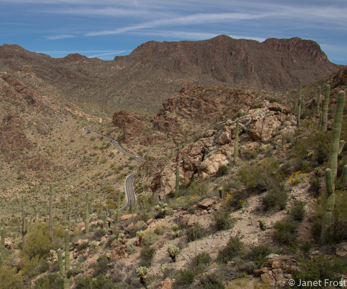
Wasson Peak has several trail options leading to its summit. At the western dead-end of Camino del Cerro is the Sweetwater Trailhead. With a combination of several trail segments, it is 10 miles round trip with an elevation gain of 2100 ft.
Just before reaching the Sweetwater Trailhead is the Sweetwater Preserve Trailhead, on the spur road of Tortolita Dr.
This is a trail system maintained by Pima County and is a favorite playground for hikers and bikers.
Trails criss-cross through the park featuring up-close encounters with majestic saguaros and the Sonoran Desert. Because of the plethora of trails, you can tailor the length of your hike as you desire. One note: In the Tucson area there is the Sweetwater Trailhead (the trail to Wasson Peak), the Sweetwater Preserve (a riparian water reclamation area), AND the Sweetwater Preserve Trailhead. It is very confusing, be sure that you follow Camino del Cerro to Tortolita Dr and you will reach the Sweetwater Preserve Trailhead.
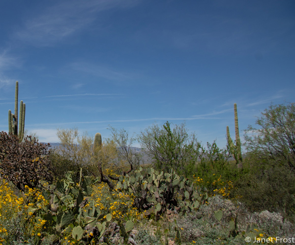
#2 Saguaro National Park West
Saguaro National Park West covers the Tucson Mountains and the desert floor to the west. Although not as high as the Rincons in Saguaro NP East, there are still some nice peaks to explore and enjoy vistas of the park. Brown Mountain Trail can be done as an out-and-back, loop, or shuttle hike. Whichever route you choose, the peak is 900 ft of elevation gain and provides spectacular views of the Arizona-Sonora Desert Museum and the surrounding desert floor.
The Scenic Bajada Loop Drive winds you through the heart of Saguaro NP West and a short spur leads you to Signal Hill. This is a tiny little trail (.5 miles) but a must-do experience because of the petroglyph rocks along the trail. Petroglyphs are ancient drawings carved into the “desert varnish” of boulders and overhangs.
Around the Tortolita Mountains
At last, we have closed our circle of mountain ranges with the Tortolita Mountains northwest of Tucson. Technically, the Tortolita Mountains are in the town of Marana and the area known as Dove Mountain is access to the trails. This range is again a lesser range in size and stature, coming in at 4696 ft on Jeffords Peak. The area also has quite a bit of surrounding development.
Don’t let that fool you though, there are still some challenging and great hikes here!
#1 Dove Mountain
Dove Mountain is known for its high-end developments and is home to the Ritz-Carlton at Dove Mountain, one of the premier desert resorts in Arizona. The trailhead for the trails up into the Tortolitas is past the gate to the Ritz-Carlton. Just tell them you are hiking and pass through to the trailhead parking. The Wild Burro Trail is popular, leading right out of the Ritz-Carlton and up 1250 ft for 5.5 miles. Several other routes split off from this trail for plenty of exploration of the Tortolita Mountains.
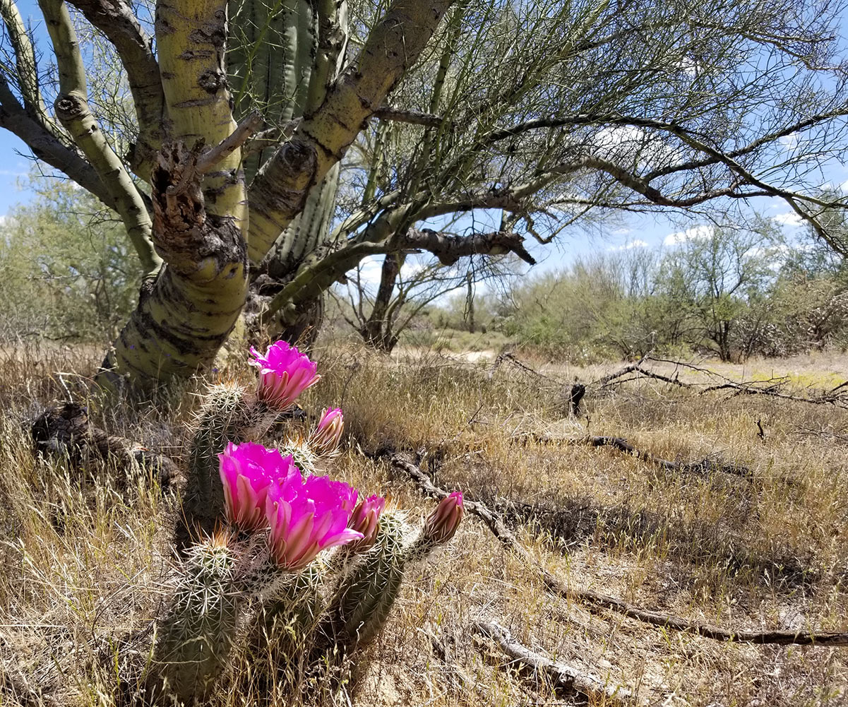
Sometimes, you just want a nice easy hike through the Arizona desert. The Tortolita Preserve Trail, a few miles before you get to the Ritz-Carlton is the perfect spot, especially in late spring when every cactus is blooming. You follow Moore Rd west to its dead-end and go through the cattle gate. This is a hugely popular loop trail of 9 miles for hikers and bikers.
Definitely, a hidden desert wilderness in the midst of suburbia, the town of Marana is fiercely protective of this piece of desert beauty!
Conclusion
This is a hefty list of amazing, Microadventure hikes in and around Tucson. With the exception of the Santa Ritas, everything is less than an hour from downtown Tucson.
With so many incredible places to hike around the Tucson area, it’s hard to pick just one spot to lace up your hiking shoes and go for a stroll. Hopefully, as you’re planning your Arizona Microadventure through the Tucson area, you’re able to take more than just one day to explore!

Janet Frost retired to Tucson in 2019, after a lifetime in the Upper Midwest. She blogs about her adventures and explorations at “Go! Learn Things.” While running to keep up with the 55+ crowd in Tucson, Janet is busy learning all about the history, culture, and terrain of her new home. Check out her posts on other Arizona Destinations.